Show summary Hide summary
Oklahoma is set to stay hot this week, with several communities facing continued perilous heat even as a stalled weather front brings a chance of showers to the north. The brief uptick in humidity could ease wildfire danger but will push the heat index higher for residents who must still cope with dangerously warm conditions.
The National Weather Service and the Climate Prediction Center say above-normal temperatures are likely to persist into mid-August across much of the region. That means many locations will remain at or above seasonal highs through the next several days, with only limited relief expected where clouds and scattered rain develop.
Heat outlook: Who stays hottest
Christa Pike released from hospital after failed execution, attorneys say
Dolly Parton tribute drives Madonna Inn crowds: steakhouse unveils limited menu
Forecast models indicate that cities such as Lawton, Enid and Stillwater will continue to see daytime highs near or above 100°F through the coming week, with Oklahoma City regularly climbing into the upper 90s and occasional triple-digit readings. While a slight cooldown may occur over the weekend, the longer-range outlook still favors warmer-than-normal conditions across the state.
That sustained warmth raises health and infrastructure concerns. Public-health officials and utilities typically remind residents to monitor the elderly, avoid prolonged outdoor exertion during peak afternoon heat and follow local guidance on hydration and cooling centers.
Where showers are most likely this week
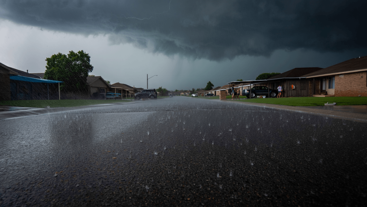
A front tracking south from Kansas is expected to stall along the northern Oklahoma border, producing the best chance for measurable precipitation in that part of the state midweek. Forecasters currently estimate modest probabilities for rain late Wednesday into Thursday, with localized downpours possible.
| City | Expected high (typical) | Notable rain chance | Timing |
|---|---|---|---|
| Lawton | ~100°F | Low | Through next week (mainly dry) |
| Enid | Around 100°F | Moderate (Fri) | Thursday–Friday |
| Stillwater | Near 100°F | Moderate (Fri) | Friday |
| Ponca City | Upper 90s–100s | ~50% | Friday |
| Woodward | Upper 90s | Moderate | Friday |
| Oklahoma City | High 90s–100°F | Lower | Mostly dry |
By Thursday, northern counties could see roughly a 10–20% probability of showers as the stalled boundary lingers. The best chances for rain concentrate in a corridor from northwest to north-central Oklahoma, and forecasters are tracking the potential for a higher likelihood—near 50%—in places such as Ponca City on Friday.
The arrival of extra moisture will slightly raise heat-related discomfort even where storms form; however, the increased humidity and isolated rainfall should bring some short-term mitigation of fire risk compared with the very dry conditions that preceded the front.
Practical implications and what to watch
For most Oklahomans the immediate concern remains heat exposure. Temperatures staying at or above 100°F elevate the chance of heat-related illness and strain on electrical systems. Where storms occur, expect brief heavy downpours, gusty winds and localized puddling, but not a statewide pattern of steady rain.
- Heat safety: Limit outdoor work during midafternoon, check on vulnerable neighbors and animals, and know the location of public cooling options.
- Storm impacts: In northern communities, plan for sudden showers and possible gusts late week—carry water and secure loose outdoor items.
- Fire risk: Short-term wildfire danger may drop where humidity rises, but hot, dry conditions are likely to return once the wetter air mass shifts east.
Looking beyond this week, the Climate Prediction Center’s guidance points to a continued pattern favoring above-average heat into mid-August. That suggests any relief brought by the stalled front will be temporary, and residents should prepare for continued warm conditions after the rain-producing air mass moves away.